Mapping & Survey
Professional Drone Survey Services
Mapping & Survey Services
OM UAV Systems offers comprehensive range of survey and mapping services which can be extremely useful for various applications.
Applications
- Land Survey
- Survey coastal areas
- Mines, including Volumetric calculations for stockpile
- Natural and manmade structures survey
- Check encroachments
- Building, chimney, bridges surveys
- Volumetric calculations
- Disasters extent surveys
- Crop damage survey etc.
- There are limitless possibilities waiting to be explored
Major Benefits
Highly Accurate
Quick
Cost Effective
Safe
Drone surveys are very fast, cost effective, accurate and free from dangers involved with human surveys in dangerous territories like swamps, coastal regions, mountains, mines etc.
Methodology
We use highly accurate RTK/PPK GPS and ground control points to get very accurate images. Our drone platforms are equipped with mission planner software that automatically charters the drone path over the area to be surveyed. The software intelligently deduces grid points with user-specific overlap percentage. Images are geo-tagged and processed in industry-standard photogrammetry software.
Possible Output Formats
- Drone Topographic Surveys
- Hi-resolution ortho-photos and ortho-mosaics
- GIS and CAD outputs
- 3D CAD and BIM Models
- Customised outputs
Advanced Capabilities
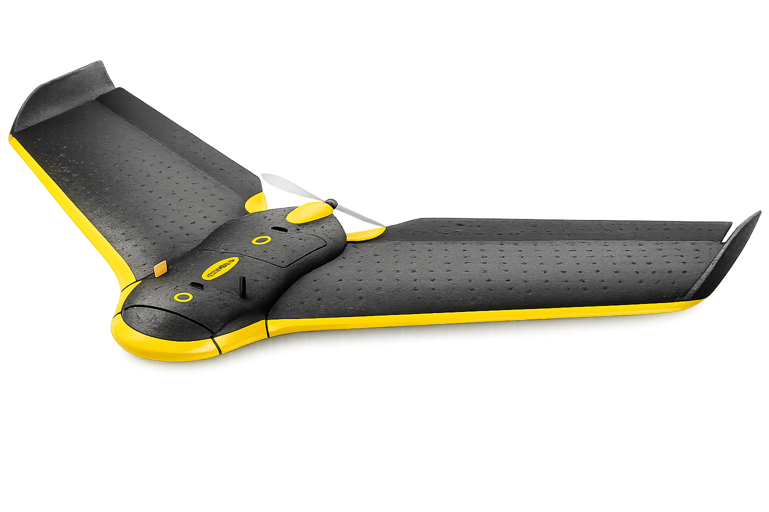
We can use LiDAR, infrared/thermal cameras and other high definition cameras to capture accurate images and convert them into 2D/3D maps. We support volumetric calculations, topographic, hydrographic and thermal maps. We have both Fixed Wing and Multi Rotor drones and can mount user equipment up to 10kg for custom surveys.
Need Professional Drone Mapping & Survey?
Contact us today for fast, accurate and cost-effective survey solutions.